








All auctions / Books, Maps & Manuscripts / Antique Andrees Handatlas, German Cartography Book, Maps, Atlas, Reference
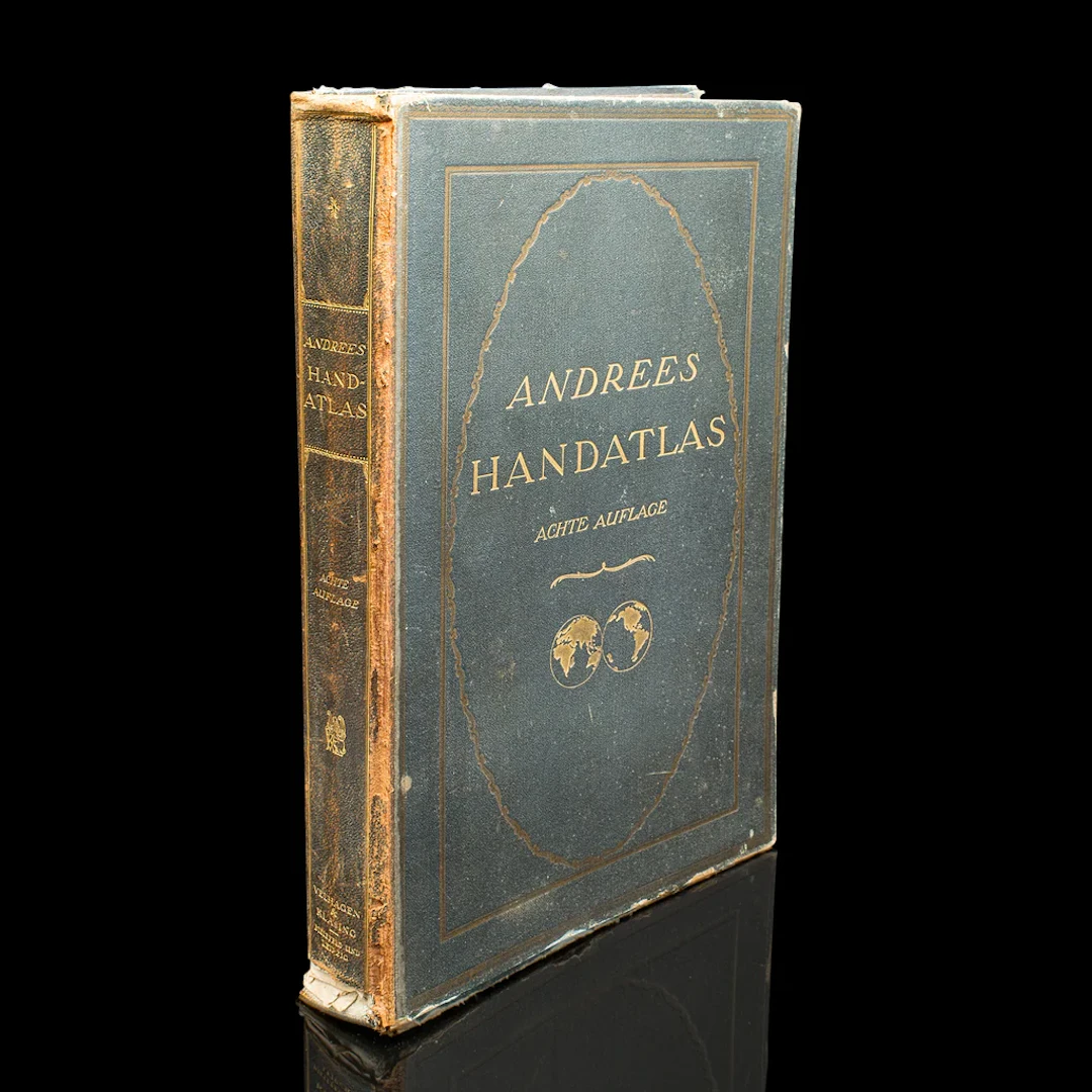
This is a large volume antique copy of Andrees' Handatlas. A German, bound chromolithography atlas, dating to the early 20th century, this edition published in 1924. Full title: This is a fascinating large volume antique copy of Andrees' Handatlas, with delightful early 20th century cartographic detail, in full colour and with comprehensive coverage of the Earth in period. Delivered ready to enjoy. Max Width: 30.5cm (12'')Max Depth: 6.5cm (2.5'')Max Height: 45cm (17.75'')
Estimate:$524.18
To the auctionView all items fromLondon Fine AntiquesorBooks, Maps & Manuscripts
Estimate:
$524.18
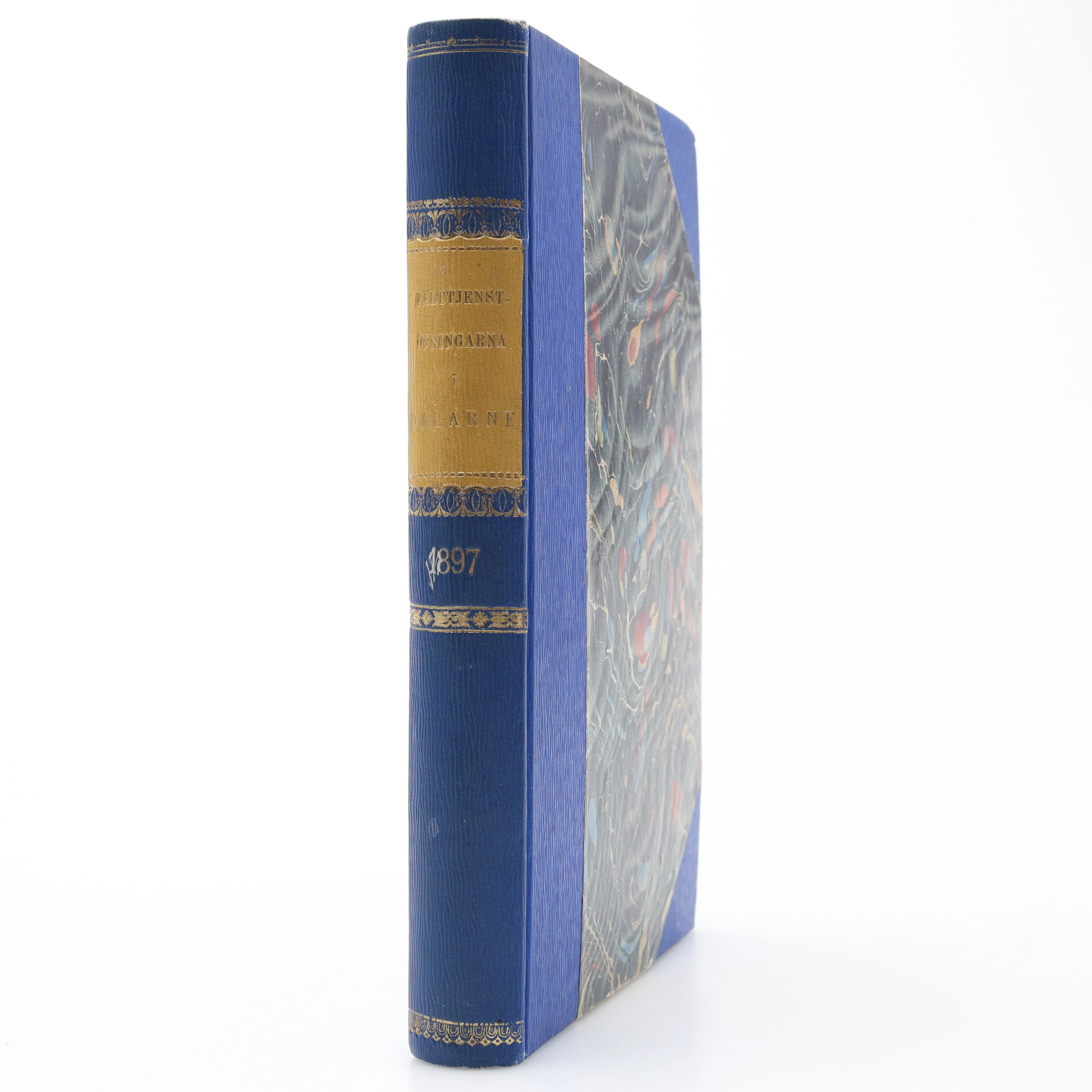
MILITARIA. GENERALSTABENS BERÄTTELSE OM FÄLTTJENSTÖFNINGARNA I DALARNE
10/17/2026
$30.25
Est: $35
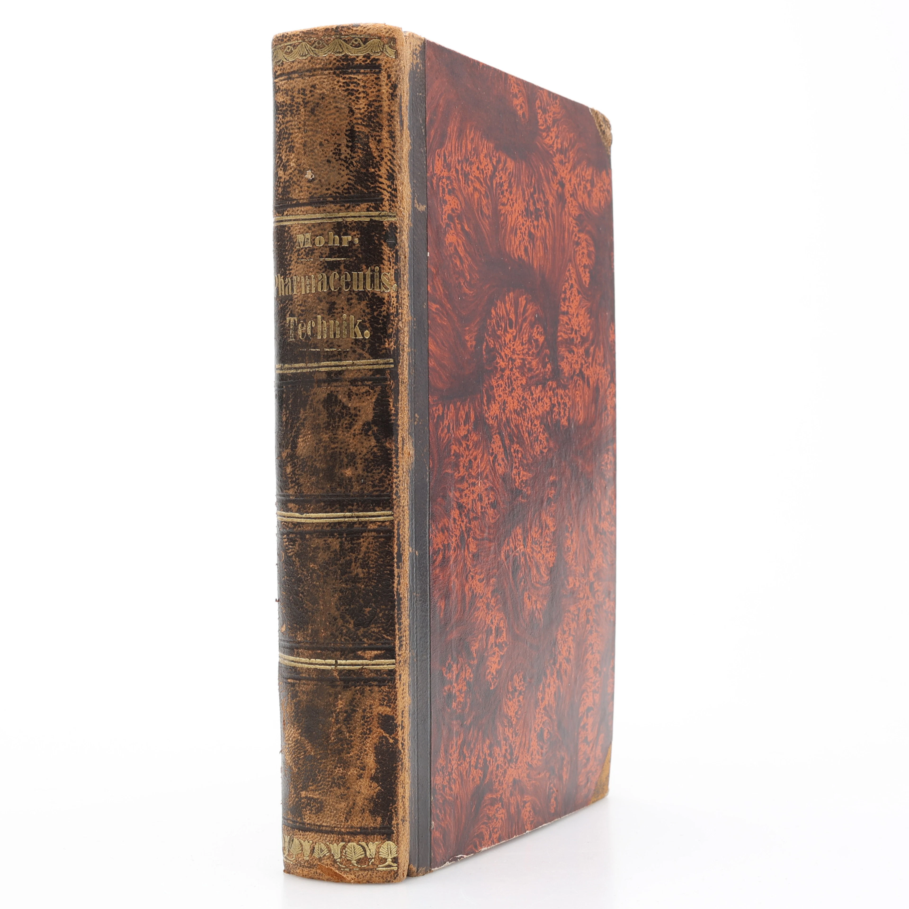
KEMI. KARL FRIEDRICH MOHR'S LEHRBUCH DER PHARMACEUTISCHEN TECHNIK
10/17/2026
$40.34
Est: $50.44
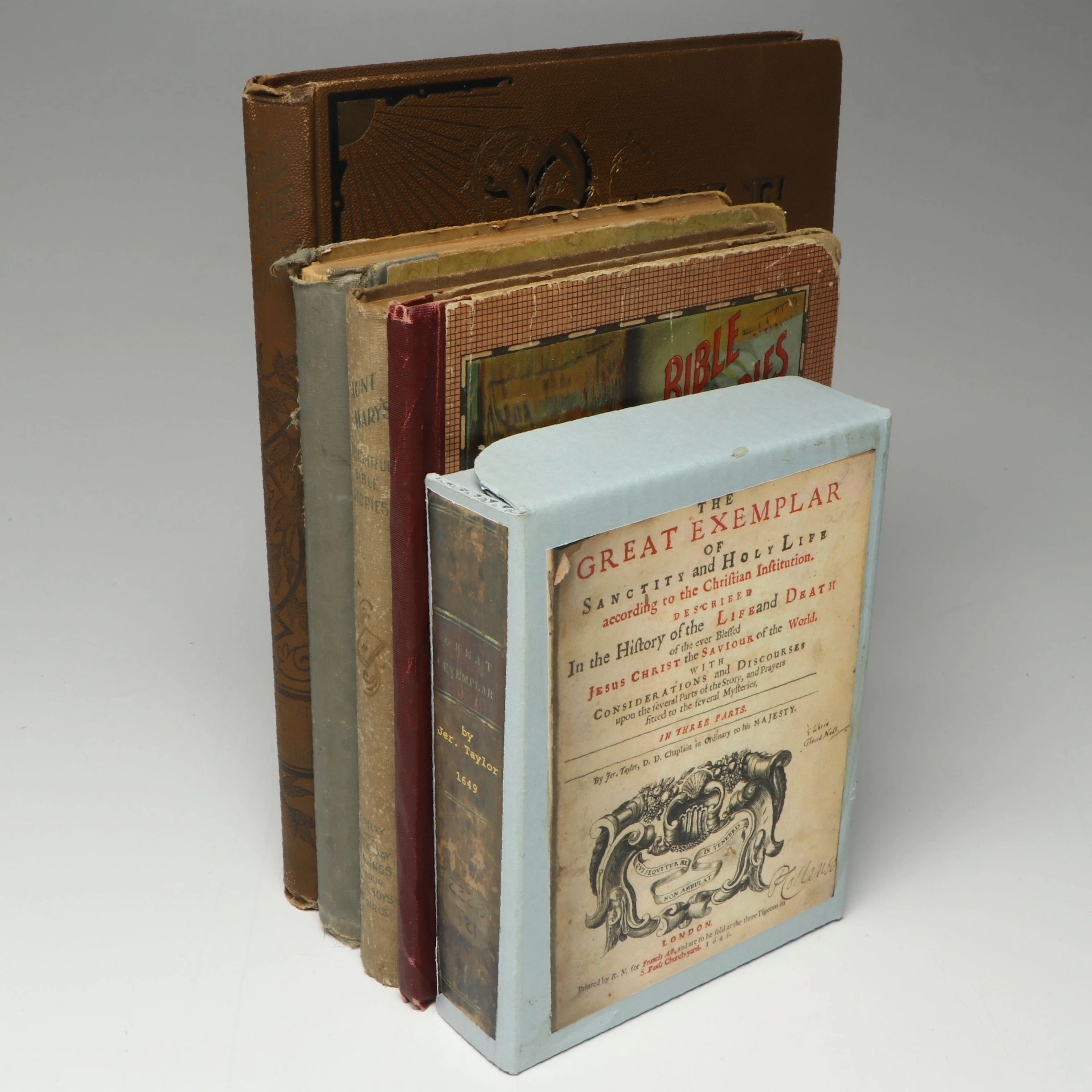
"The Great Exemplar of Sanctity and Holy Life" by Jeremy Taylor and More Books
10/17/2026
$161
Est: $161
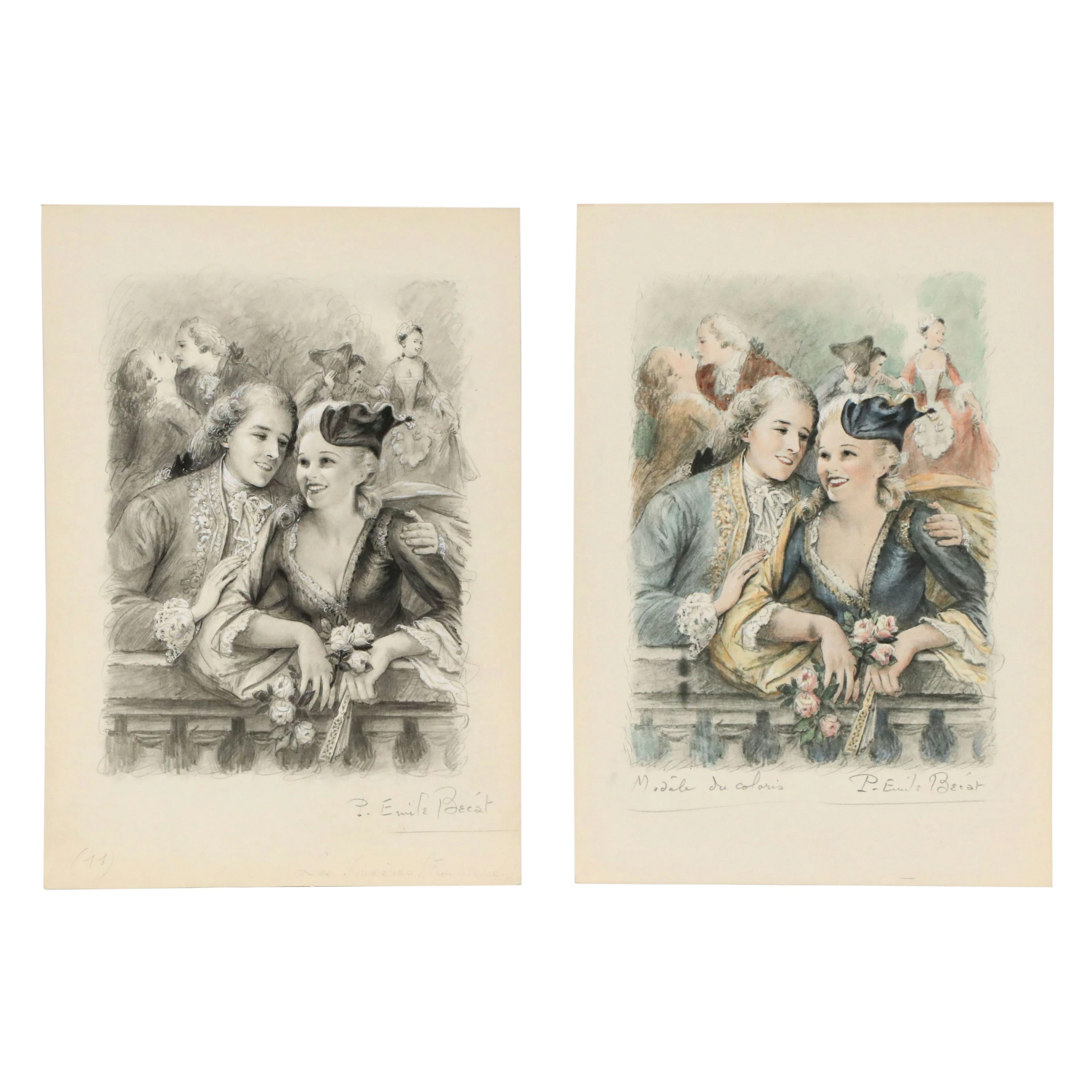
Paul-Émile Bécat Graphite Frontispiece Book Illustration "Les Sincères"
10/17/2026
$9
Est: $4




OCT 27 | 4:00 PM
Bring your auction to collectors worldwide!
Get listed nowBy subscribing, you are agreeing to the privacy policy. Unsubscribe anytime.
Barnebys HQ
Brahegatan 10
BOX 5038
114 37 Stockholm
