







All auctions / Books, Maps & Manuscripts / Historische Karte des oberen Rhei

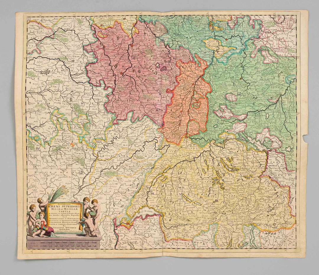
Historische Karte des oberen Rheinlaufs — “Accuratissima Rheni superioris Mosae et Mosellae tabula“, teilkol. el// Kupferstich bei Danckerts, Amsterdam, um 1700, die Landkarte zeigt die Gebiete entlang des Rheinlaufs mit den angrenzenden Flüssen Maas und Mosel von Südwestdeutschland mit dem Schwarzwald über die Schweiz, Elsaß und Lothringen, Mittelfalz am u. Rand eingerissen, Blattmaße 52 x 61 cm
Estimate:$111.96
To the auctionView all items fromAuctionata HistoriaorBooks, Maps & Manuscripts
Estimate:
$111.96

1 bt. Champagne Dom Pérignon, Moët et Chandon 2013 A (hf/in). Oc.
10/15/2026

$180.35
Est: $210.76

1 bt. Champagne "Cristal", Louis Roederer 2016 A (hf/in). Oc. – Bruun
10/15/2026
$210.41
Est: $210.76
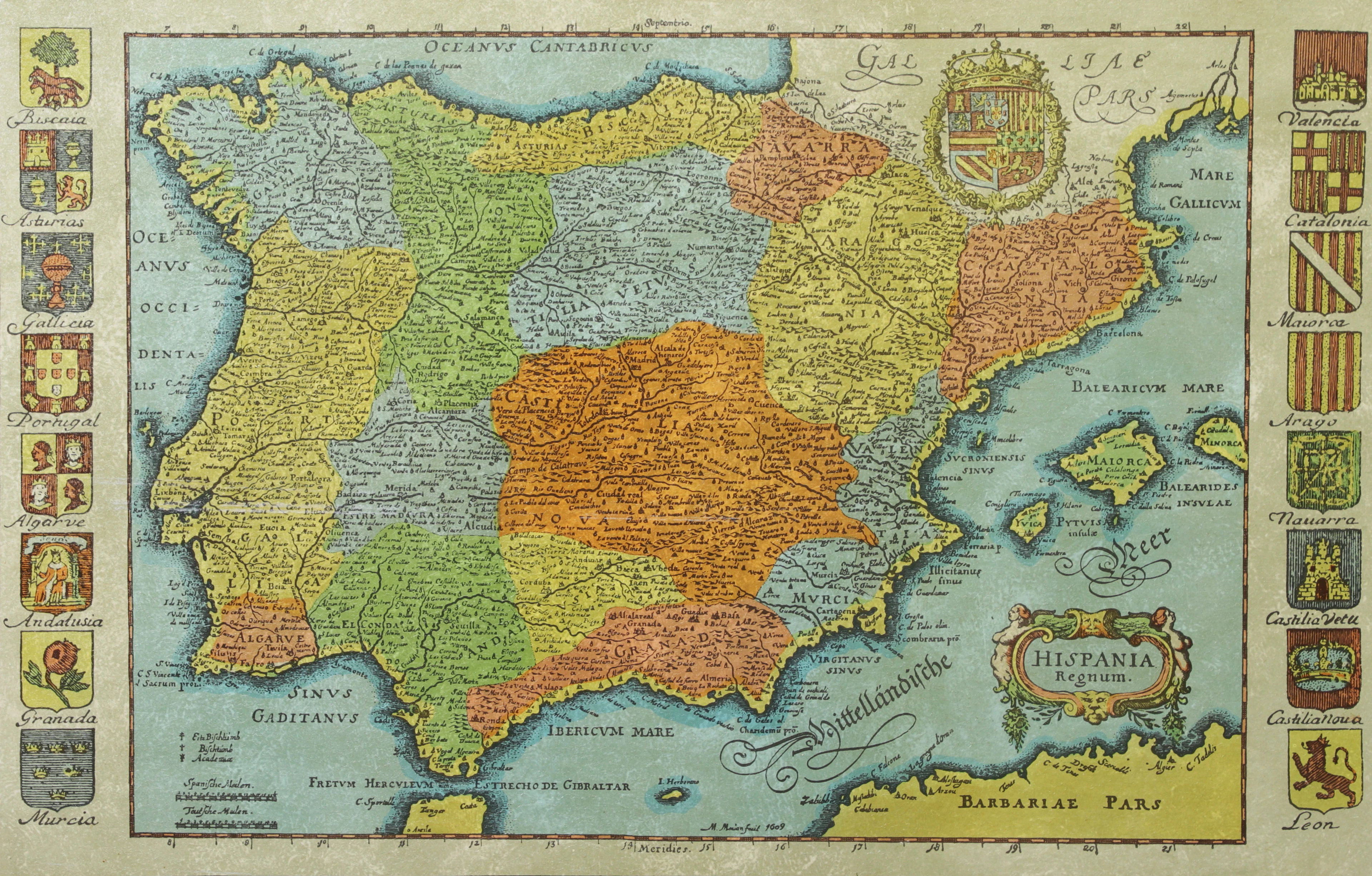
KARTA, Spanien, inramad, 1900-talets andra hälft.
10/14/2026
$30.14
Est: $50.17

BÖCKER om STOCKHOLM, 31 st, 1900-talets senare del.
10/14/2026
$52.74
Est: $60.21




OCT 17 | 10:00 PM
Bring your auction to collectors worldwide!
Get listed nowBy subscribing, you are agreeing to the privacy policy. Unsubscribe anytime.
Barnebys HQ
Brahegatan 10
BOX 5038
114 37 Stockholm
