



All auctions / Asian Art / Large Antique Caribbean Map, Guadeloupe, Antigua, Scottish, Framed, Georgian
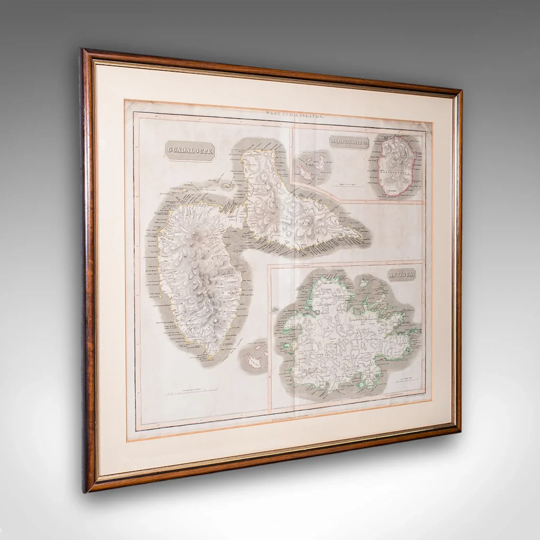
This is a large antique map of the West India Islands. A Scottish, framed triptych of three Caribbean Leeward islands, dating to the late Georgian period, circa 1817. A fine excerpt from John Thompson's (1777 - 1841) A New General Atlas of 1817, presenting the three islands from the Caribbean Leeward Isles with contemporary naming - Guadaloupe, Mariegalante and Antigua. This is a fascinating antique map of the West India Islands, known today as the Caribbean Leeward Islands. Delightfully annotated with copious information and detail, this large map is a treat for collectors or for those with a connection to the islands featured. Delivered ready to display. Max Width: 77cm (30.25'')Max Depth: 2cm (.75'')Max Height: 67.5cm (26.5'') Map Width: 62cm (24.5'')Map Height: 51cm (20'')
Estimate:$1,307.13
To the auctionView all items fromLondon Fine AntiquesorAsian Art
Estimate:
$1,307.13

Zwei Teetassen, Tongzhi-Marke und eine Deckeldose, späte Qing-Dynastie
10/14/2026
$33.63
Est: $112.12
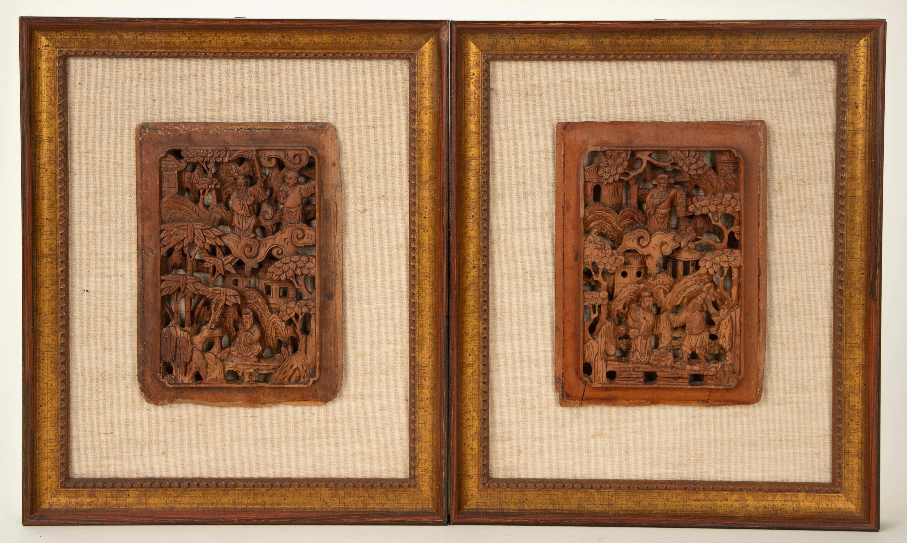
Zwei Reliefschnitzereien, China, Anfang 20. Jh. (2).
10/14/2026
$28.03
Est: $112.02




OCT 17 | 10:00 PM
Bring your auction to collectors worldwide!
Get listed nowBy subscribing, you are agreeing to the privacy policy. Unsubscribe anytime.
Barnebys HQ
Brahegatan 10
BOX 5038
114 37 Stockholm
